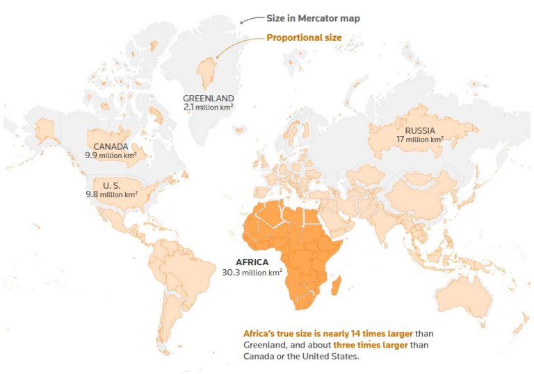
The "Correct the Map" campaign is gaining momentum, aiming to reshape how Africa is perceived on maps and in global media. Led by African activists,...
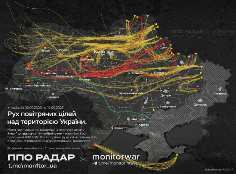
The Ukrainian Telegram channel Monitorwar published a map of the massive attack on Ukraine on the night of September 9-10, showing the drones' route. It...
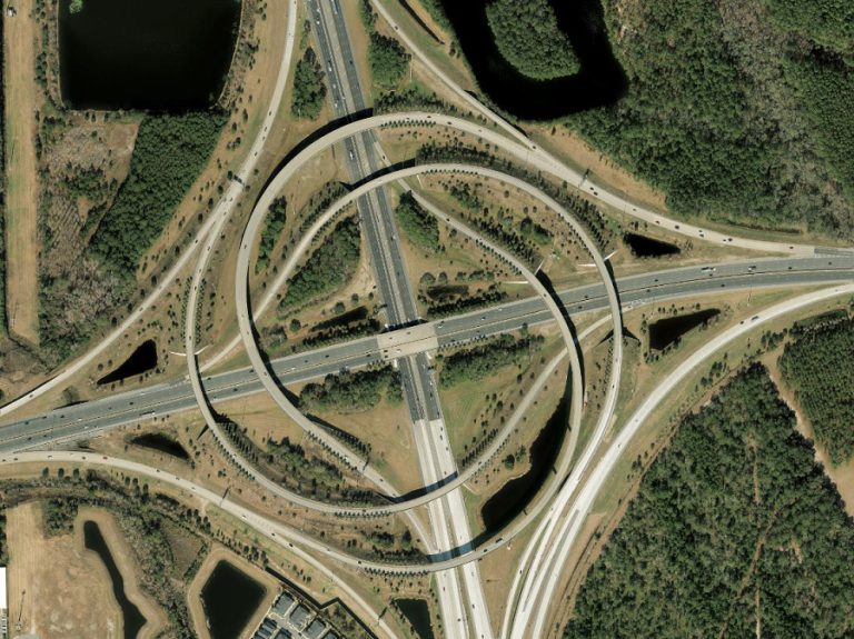
Highway interchanges are the unsung heroes of transportation infrastructure, seamlessly connecting roads, managing traffic flow, and ensuring safety for millions of drivers daily. See their...
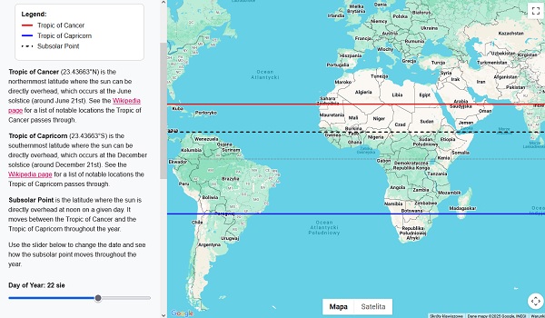
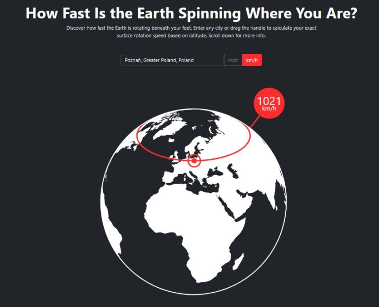
This interactive map shows the Tropic of Cancer, Tropic of Capricorn, and the subsolar point (the location where the sun is directly overhead at noon)...
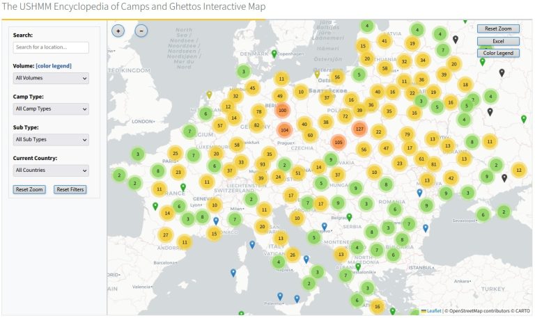
The United States Holocaust Memorial Museum (USHMM), in collaboration with Project MUSE, a division of Johns Hopkins University Press, has unveiled a groundbreaking interactive map...
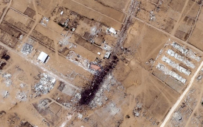
The desperation of Palestinians in Gaza is visible from space as newly-published satellite imagery showed thousands of people surrounding lorries carrying aid on Saturday, July...
Generated images show faces with the average features and characteristics of different ethnic groups. The player’s task is to guess on a map where the...
In the digital age, satellite maps have become an integral part of our lives, offering unprecedented access to detailed imagery of the Earth’s surface. From...
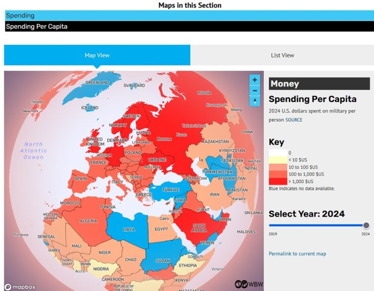
Nonprofit organization World BEYOND War has created a series of maps on military matters, including military spending and weapons purchases. On the "Money" map we...
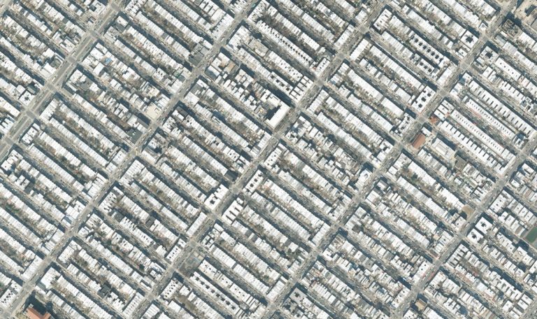
New York City, the bustling metropolis often called the "capital of the world," takes on a striking new perspective when viewed from satellite imagery. These...