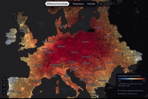
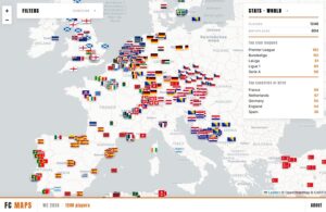
Population Circle — a fresh online mapping tool — allows users worldwide to draw custom areas on a global map and receive accurate population estimates based on high-resolution data.
PopulationCircle allows you to draw any irregular shape, not just circles with a fixed radius. The tool is intuitive – simply click and draw on the map, and the result – estimated population and land area – appears in real time. The data source is the WorldPop Global2 database, which provides estimates of population distribution at a spatial resolution of 100×100 meters.
The tool is perfect for educational purposes or simply for curiosity – for example, how many people live within a 100 km radius of your city, or how densely populated a given region of Asia is compared to Europe. Similar projects (like the classic Population Around a Point) have existed for years, but PopulationCircle stands out for its modern interface and the flexibility to draw any area.
The website includes a link to the PopulationGuessr game, where you can test your knowledge of the population density of various regions.